Why it exists
Physical environments are rich in detail, but turning raw sensor data into useful, anchored geometry remains complex.
Eight second transmission
Audio experience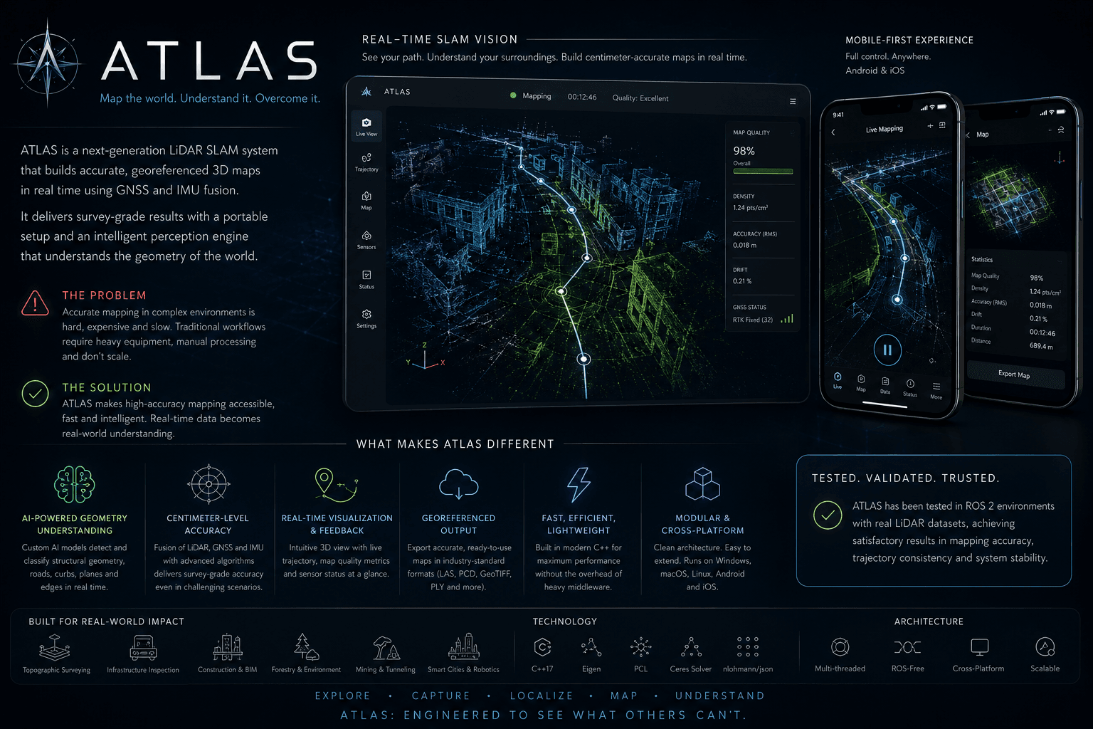
The project
Specialized intelligence
Specialized AI reasons over sensor geometry to transform LiDAR observations and GNSS anchors into useful spatial structure.
Physical environments are rich in detail, but turning raw sensor data into useful, anchored geometry remains complex.
Atlas explores an AI-assisted pipeline for building real geometry from LiDAR and positioning it through GNSS, with a future path into the ROS2 ecosystem.
System capabilities
Technology constellation